Design de Interiores
Olá leitores do blog Algarve 123, espero que se encontrem bem!
No post desta quarta-feira, venho partilhar convosco algumas sugestões de design de interiores que encontrei no site da Móveis Online e que acredito que vos irá ajudar a tomar algumas decisões, se estiverem em mudanças por casa, ou se por outro lado, estão sem ideias pela imensa oferta existente no mercado.
A minha casa está praticamente toda mobilada e sei que nem sempre, esta é uma tarefa fácil, para mais, quando temos duas pessoas (eu e o meu marido) com gostos, a princípio, um pouco distintos.
Sempre imaginei a “minha” casa com mobiliário a tender mais para o moderno, paredes lisas, com quadros simples e minimalistas…mas ficou apenas na minha imaginação e por um lado ainda bem!
Ter vindo morar para uma casa com mais de dois séculos, fez abrir os meus horizontes para o mobiliário antigo/vintage.
Atualmente, imaginar a minha sala com mobília como eu idealizava…
Hmmm… não me parece!
Iria certamente tirar muito carisma a toda a casa!
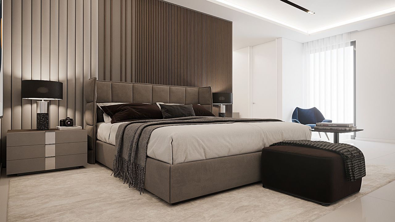
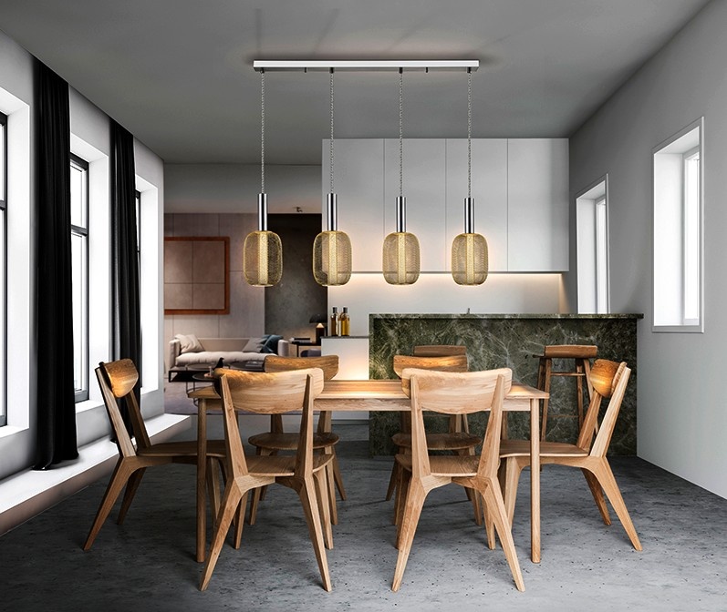
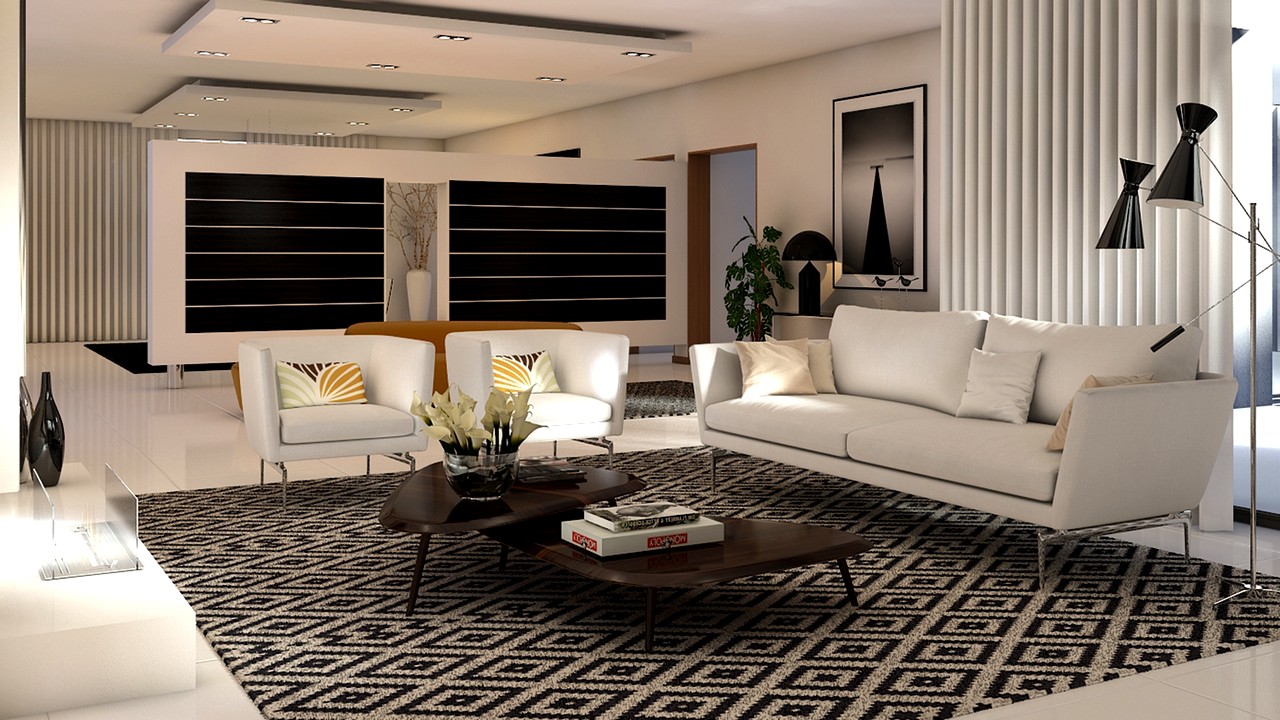
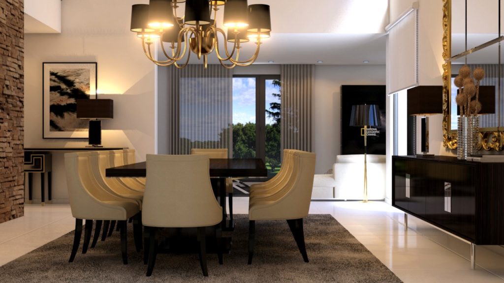
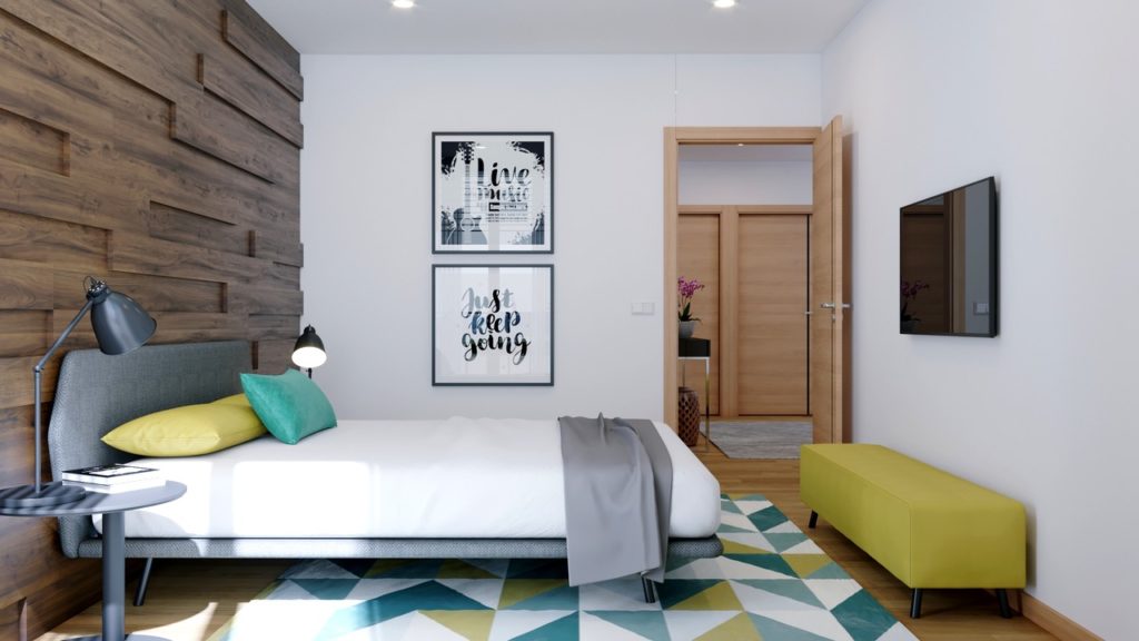
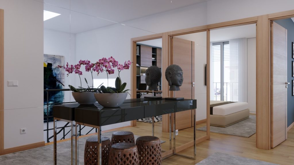
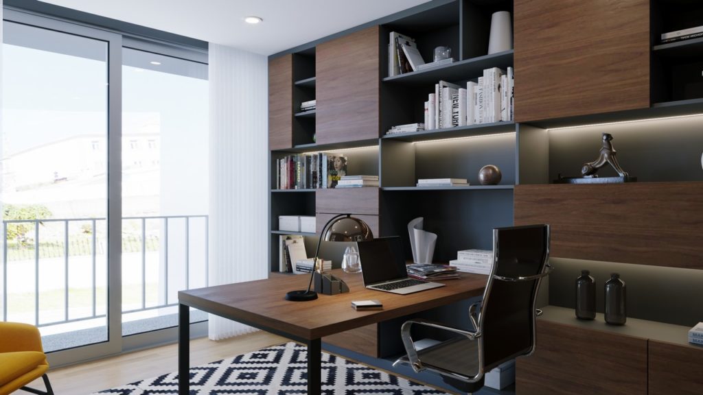
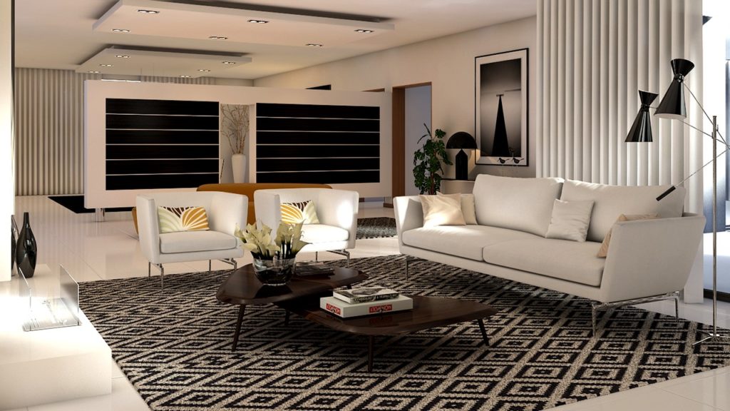
Mas e sem mais demoras, porque este post já vai um pouco longo, partilho convosco alguns dos projectos exemplo que podem encontrar no site da Móveis Online:

Para pedidos de orçamentos, não hesitem em preencher o fórmulario presente no site na categoria “Projectos 3D”. Assim que seja possível, um dos decoradores, entrará em contacto convosco!
Eu, fico-me por aqui, e espero que tenham gostado desta dica/sugestão e que tenham até conseguido extrair ideias para a vossa casa!
Helena Raquel